Developing a common operating picture (COP) to mitigate risk and save lives


Challenge
A key federal agency develops and implements transnational drug and crime control programs in the global arena. In one of these regions, a focal point for local law enforcement is to eradicate illicit crops cultivated in broad swaths of rural terrain. This task is becoming increasingly challenging for the federal agency and local law enforcement agencies (LEAs) as they work to locate, monitor, and eliminate criminal activities while also ensuring the safety and security of teams in the field.
With disparate sources of data, key decision-makers desired a unified real-time view to improve risk-based, intelligence-driven action. To establish coordination between operation centers and aid local LEAs, the key federal agency needed to identify, implement, and sustain a new software solution. The goal was a common operating picture (COP) to serve as a planning tool and augment safety and security of field personnel.
Solution
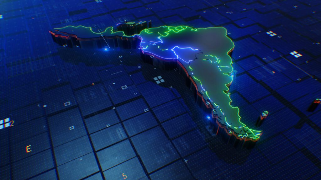
Together with a key federal agency, Tsymmetry developed a common operating picture that integrates data through uploads from various eradication players. Using industry-standard security protocols, the data is securely stored and shared within the police network. The COP includes a multi-tiered geographical information systems (GIS) solution, providing field personnel with geographic visualizations and analysis. The server-based solution was implemented within a six-month timeframe, using industry-leading ESRI frameworks and a low-code development environment.
Impact
With state-of-the-art visualization and analytical tools, decision-makers now have critical real-time data to combat narcotics trafficking and transnational organized crimes. Tsymmetry has effectively mitigated the risk associated with field personnel, by providing them with accurate data and efficient coordination between agencies.
The common shared platform reduces the daily operational risk, delivering a tactical planning tool to ensure field personnel safety and security on the ground. The integration of a COP and GIS provides several vital advantages and capabilities such as accurate mission planning, risk mitigation, eradication tracking and analysis, and friendly and enemy forces tracking and analysis.
The key federal agency is now able to demonstrate and validate the eradication efforts being made, reducing the overall cost, time, and energy of local enforcement agencies. These efforts have increased the agency’s ability to be more efficient in accomplishing missions, with reduced risk and more lives saved.
Need help?
Start your success story today. Contact us to discuss your challenges and explore solutions to meet your needs.
Proven Success Stories
Related Case Studies